
Greenboro Pathway — The Missing Link
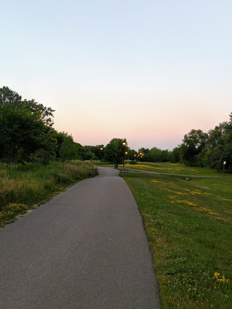
Greenboro has an extensive existing network of comfortable multi-use pathways connecting several schools and parks, Greenboro Plaza, Conroy Mall, and the Greenboro Community Centre with its library and facilities. One can walk or bike from Hawthorne Road all the way through to Pebble Road at Pushman Park (just west of Albion Road) through these paths with only a few major road crossings. This is an amazing asset that makes Greenboro a pleasant place to walk and cycle around — it connects the community.

Fun Ottawa fact: Greenboro has the second-highest cycling network density of all Ottawa neighbourhoods: 9km of bike infra for every km2. That’s Dutch-level network density, and a very high safety standard – all separated pathways. pic.twitter.com/5Jy8g0mSp9— Beyond the Automobile (@MattPinder1) December 27, 2021
However, there’s a missing link. You see, that end at Pebble Road is less than one kilometre away from South Keys Centre — a major shopping centre with grocery, retail, recreation and more. Not to mention two major transit stations, and right behind it, the Sawmill Creek Pathway along the Airport Parkway.

The Sawmill Creek Pathway behind South Keys Centre connects South Keys Station across the Airport Parkway with the Juno Beach Memorial Pedestrian Bridge to the Owl Park and Hunt Club East neighbourhoods and continues north towards Brookfield Road, Confederation Heights, and Hogs Back Falls. This pathway will soon cross over Hunt Club Road and extend much farther south along the O-Train Trillium Line.
With the completion of O-Train construction and Transitway Structure Rehabilitation, there will be an uninterrupted cycling connection through the station.
The Missing Link
The problem with that missing link from Greenboro Pathway to South Keys Centre and the Sawmill Creek Pathway means people don’t feel safe walking or biking that area to access transit and retail, and would rather take their car. It just makes sense to connect the great network of pathways in Greenboro to a major transit station and commercial area.
An article from Government Technology recently described how a Carnegie Mellon study found “that about 50 percent of car trips in urban areas are three miles [4.8 km] or less in length, making them a possible candidate for replacement with other modes.” There are 100,000 people living within 5 km — a 20-minute bike ride — of South Keys Centre. Imagine the traffic we could reduce, the pollution not produced, if just a fraction of those people were able to cycle safely there!
The challenge is to provide a connection that is suitable for all ages and cycling abilities to travel along these busier streets and cross Bank Street. The goal here is for parents to feel confident letting their children bike to destinations around South Keys independently. Also, with future residents coming to South Keys Centre, those folks will be able to safely access the network of pathways through Greenboro to the schools, city facilities, restaurants and recreation options as well.
Connecting to the transit stations also means more opportunities for people to ‘rack and roll’ when travelling or commuting.
Our Ideas
Our technical committee tackled this problem and came up with a great solution. Starting from South Keys Station, there exists a wide sidewalk that takes you to Dazé Street. This area is currently privately owned. The current redevelopment plans call for the land here to become a city-owned transit plaza, which presents an easy opportunity to create a bike path from the station to Dazé Street.
Dazé Street is a very wide road for the short connection which it provides. It is a good candidate for a “road diet”, where a lane of traffic is reallocated for other modes of transportation, as included in the City’s proposed project for Dazé. This would involve calming the street by removing a car lane in each direction and adding a two-way cycle track on the north side of the road. The same treatment would apply to Cahill Drive on the other side of Bank Street to Albion Road. The reclaimed space on Dazé could then be “greened” with some nice streetscaping.

By reconstructing the Dazé/Cahill/Bank Street intersection as a protected intersection, pedestrians and cyclists would have a safe way to cross Bank Street.

Then, a multi-use pathway on the east side of Albion to connect two of the existing branches of the Greenboro Pathway to Albion and Cahill. Albion and Cahill could also get upgraded sidewalks on the north side to create a multi-use pathway which would allow more direct connections from the existing pathways to the east.

Our technical committee, with the endorsement of Bike Ottawa and the South Keys/Greenboro Community Association, sent this proposal to the City of Ottawa as part of their request for feedback on active transportation in February. We’ll keep you posted on any responses and hopeful future action!
If you want to join us, hear about opportunities to have your say, or just get updates, please join our mailing list. You can also follow us on Twitter and Facebook.
[…] intersection proposal also includes our vision for solving the ‘missing link’ as the Greenboro pathway network ends less than one kilometre away. If these areas were connected […]
[…] Join us for a short group ride-and-chat to discuss ways to improve pedestrian and cycling connections along the Greenboro Pathway to South Keys Shopping Centre. We’ll ride from the Greenboro Community Centre to the South Keys Transit Station and back with a few stops along the way.For a sneak peek check out our past blog post on Better South Keys Centre’s ideas around the Greenboro Pathway Missing Link. […]